News Summary
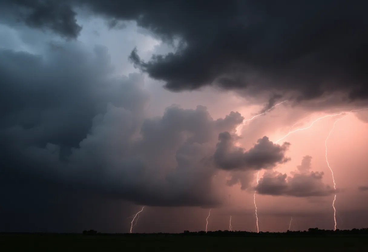
Northeast Mississippi is bracing for severe weather as a level 4 MODERATE risk has been issued for the evening. Residents should prepare for intense storms, including large hail and possible tornadoes. The risk escalates on Saturday to a level 5 HIGH, particularly impacting areas like Columbus. As conditions are expected to worsen, it’s crucial for residents to stay informed, secure their homes, and take safety precautions. Following the tumultuous weekend, a gradual clearing is forecasted by Sunday, but a cold front may bring chilly temperatures and potential wintry precipitation next week.
Severe Weather Alert for Northeast Mississippi: Brace for a Wild Weekend!
Residents of Northeast Mississippi, get ready! It looks like the weather is about to take a serious turn tonight, and you definitely don’t want to be caught off guard. The Storm Prediction Center has issued a level 4 MODERATE risk for severe weather, highlighting the potential for some intense storms to roll through between 8 PM and 4 AM.
What to Expect Tonight
As the clock ticks closer to evening, keep your eyes on the sky. There’s a possibility of strong storms that could include large hail and, yes, even tornadoes! With the situation being serious, now is the time to make sure your emergency kits are ready and your phones are charged in case you need to receive updates.
Saturday’s High Risks
But that’s not the end of it by any means! Saturday is looking even more intense with a rare level 5 HIGH risk for severe weather. This impacts areas like Columbus, where stormy conditions are set to ramp up significantly from 10 AM to 7 PM. Supercell storms are expected to develop, meaning we could see those infamous storms that are known to produce long-tracked, powerful tornadoes along with strong winds and, of course, more large hail.
What You Can Do
It’s essential to stay informed and prepared. Consider following local weather updates, as these conditions can change rapidly. If you have plans on Saturday, think twice and prioritize your safety. Make sure your home is secure, and know where the safest spots are in your house should you need to take cover.
Into the Weekend’s Clarity
After this stormy spell, you’ll be relieved to know that Sunday is poised to bring some gradual clearing, paving the way to a bright start to the upcoming week. Temperatures will begin to warm up again by Monday, providing a contrast to Saturday’s wild weather. The forecast shows temperatures will rise to the low 80s in the afternoon, making the impending week look promising.
The Cold Front’s Arrival
But hold on! A cold front is set to approach Northeast Mississippi on Monday evening. This means we can expect clouds to gather along with a potential for isolated showers late Monday into Tuesday morning. Winds will be breezy on Monday, and gusts could reach 20-25 mph, so make sure you’re bracing for those stronger breezes when you head out!
A Chilly Midweek
Now, just when you thought it couldn’t get any crazier, we’re looking at some chilly days ahead. Following the cold front, temperatures are likely to dip into the lower 70s on Tuesday and Wednesday. But that’s not all! Reports are hinting at a mix of wintry precipitation late Tuesday into early Wednesday, especially for those located north of US 82. Get ready for potential freezing rain, sleet, and maybe even some snow!
Expecting Travel Impacts
With these winter conditions brewing midweek, be prepared for travel impacts, particularly in areas that may experience significant wintry precipitation. Conditions could be treacherous, so it’s wise to stay off the roads if you can.
Overall Weather Summary
This week promises to be an exciting and, at times, challenging weather experience for Northeast Mississippi. With the severe weather threat looming tonight and into Saturday, make sure you are on high alert. After a turbulent weekend, enjoy the clear skies as we move into next week, but remain cautious as winter tries to make a surprise appearance! Stay safe and warm!
Deeper Dive: News & Info About This Topic
HERE Resources
Central US Faces Severe Weather and Flooding Risks
Severe Storms Cause Havoc in Northeast Mississippi
Early Morning Blaze in Tupelo: Fire Under Investigation
Starkville Unveils Live Streaming for Main Street Revitalization
Winter Weather Systems to Impact Columbus, Mississippi
Severe Weather Outbreak Brings Tornadoes to Southern U.S.
Additional Resources
- WCBI: Significant Severe Weather Risk for This Weekend
- Wikipedia: Severe Weather
- WCBI: Cold Week Ahead, Next System Friday
- Google Search: Severe Weather Forecast
- WCBI: Storm Potential Gears Up for the End of the Week and Weekend
- Google Scholar: Severe Weather Reports
- WCBI: Winter Storm Watch Issued for Part of the WCBI Viewing Area
- Encyclopedia Britannica: Severe Weather
- Weather.com: 10-Day Weather for Columbus, MS
- Google News: Mississippi Weather Updates


